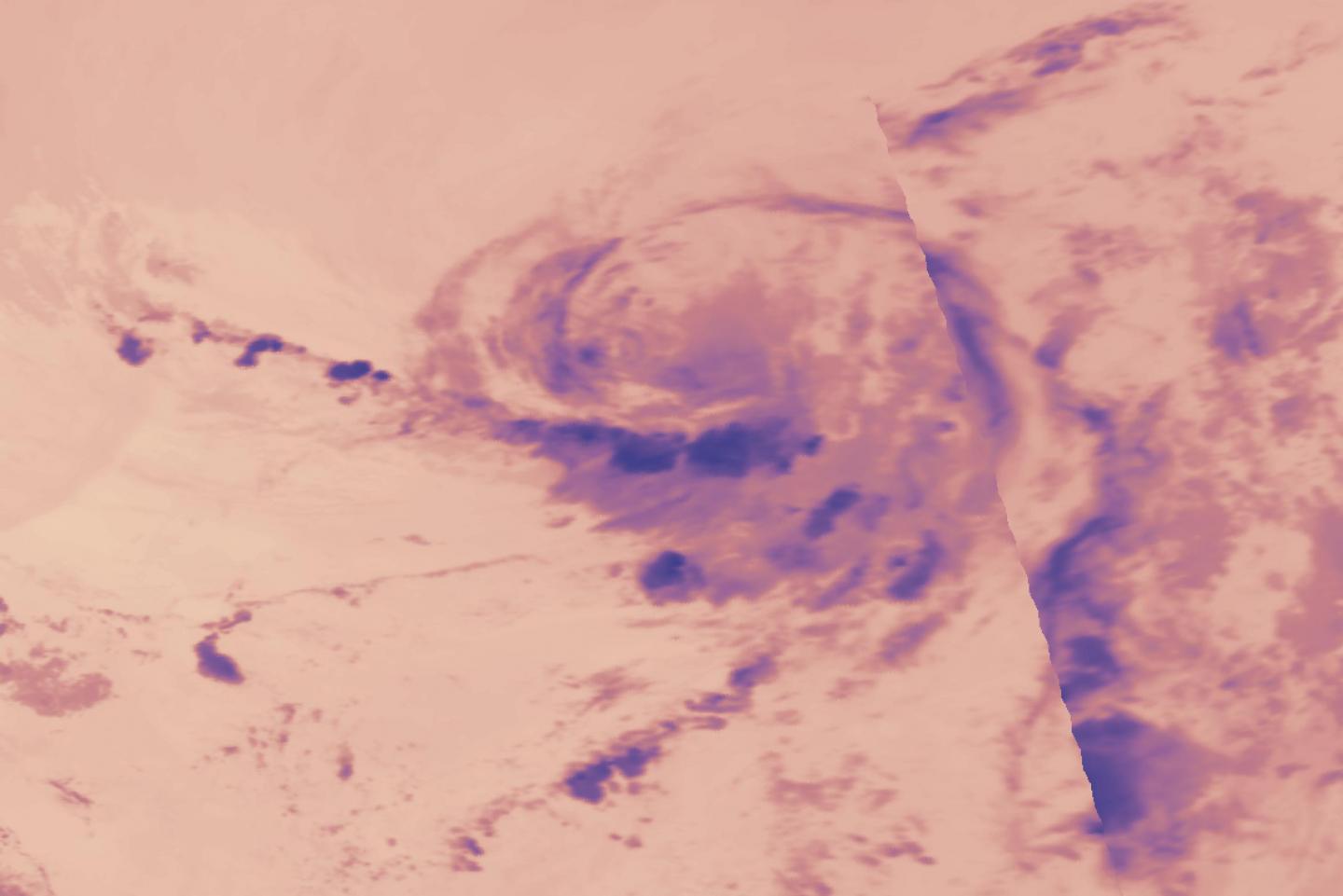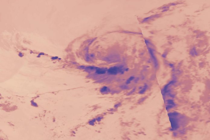
IMAGE: NASA’s Terra satellite provided an infrared image of Post-Tropical Cyclones Dolly during the early morning hours of June 24, 2020 that showed the bulk of its storms (dark blue) were…
view more
Credit: Credit: NASA Worldview
NASA’s Terra satellite provided a night-time look at what is now Post-Tropical Storm Dolly in the Northern Atlantic Ocean. Terra found that all of Dolly’s clouds were on one side of the storm as the storm weakened further.
The National Hurricane Center (NHC) defines a post-tropical cyclone as a former tropical cyclone. This generic term describes a cyclone that no longer possesses sufficient tropical characteristics to be considered a tropical cyclone. Post-tropical cyclones can continue carrying heavy rains and high winds. Note that former tropical cyclones that have become fully extratropical and remnant lows are two classes of post-tropical cyclones.
At 11 a.m. EDT (1500 UTC), the NHC issued their final advisory on Post-Tropical Storm Dolly as the storm weakened to a remnant low-pressure area. The center of Post-Tropical Cyclone Dolly was located near latitude 42.5 north, longitude 57.8 west. That is about 370 miles (595 km) southwest of Cape Race Newfoundland, Canada. Maximum sustained winds are near 35 mph (55 kph) with higher gusts.
The estimated minimum central pressure is 1007 millibars. The post-tropical cyclone is moving toward the northeast near 16 mph (26 kph) and this general motion is expected to continue through tonight.
In the early morning hours of June 24, the Moderate Resolution Imaging Spectroradiometer or MODIS instrument that flies aboard NASA’s Terra satellite captured an infrared image of Post-Tropical Cyclone Dolly’s brightness temperatures. Brightness temperature is actually a measure of the photons seen in the 11-micron wavelength by the MODIS instrument aboard Terra. They are presented in units of temperature. The infrared image provided temperature data that revealed the coldest, highest clouds were about 213.8 Kelvin (minus 76.2 degrees Fahrenheit/minus 60.1 degrees Celsius). Those areas indicated the strongest thunderstorms within the low-pressure area and were all displaced to the south of the center.
Because Dolly is now moving over cool waters below 20 degrees Celsius (60 degrees Fahrenheit), forecasters do not expect any more development of strong thunderstorms. Tropical cyclones require sea surface temperatures of at least 26.6 degrees Celsius (80 degrees Fahrenheit) to maintain strength and generate thunderstorms.
Therefore, the low-pressure area is forecast to gradually spin down through Wednesday [June 24] night. It will likely open to an elongated area of low pressure known as a surface trough sometime on Thursday as it continues to move northeastward.
The National Hurricane Center said, “Gradual weakening is expected, and Post-Tropical Cyclone Dolly is expected to dissipate by Thursday [June 25] morning.”
NASA’s Terra satellite is one in a fleet of NASA satellites that provide data for hurricane research.
Tropical cyclones/hurricanes are the most powerful weather events on Earth. NASA’s expertise in space and scientific exploration contributes to essential services provided to the American people by other federal agencies, such as hurricane weather forecasting.
For updated forecasts, visit: http://www.
###
TDnews


